Contents
Previous
Next
display and manipulate the world coordinate system of a FITS or IRAF
images
Version : 2.9.3
Author(s) : Doug Mink (dmink@cfa.harvard.edu)
License : GPL
Website :
http://tdc-www.harvard.edu/software/wcstools/
Disk space required for installation is 21.50 Mb
After the package is installed it can be accessed using the command
/opt/lfa/startwcstools
A shortcut will be installed in the KDE/GNOME desktop menu system,
as an entry in the Astronomy submenu
Summary
WCSTools is a set of software utilities, written in C, which create,
display and manipulate the world coordinate system of a FITS or
IRAF
image, using specific keywords in the image header which relate
pixel
position within the image to position on the sky. Auxillary
programs
search star catalogs and manipulate images.
The 1998 ADASS paper is the best published description of the other
tools
in the WCSTools package, including SAOimage when used for WCS work:
"WCSTools: An Image Astrometry Toolkit",
Douglas J. Mink (1998), in Astronomical Data Analysis Software and
Systems VIII, A.S.P. Conference Series, Vol. 172, 1999, Dave
Mehringer,
Ray Plante, Doug Roberts, eds., pp. 498-501.
Program Descriptions
addpix Add a constant value(s) to specified pixel(s)
conpix Operate on all of the pixels of an image
cphead Copy keyword values between FITS or IRAF images
delhead Delete specified keywords from FITS or IRAF image file
headers
delwcs Delete the WCS keywords from an image. If both EPOCH and
EQUINOX
are present, EQUINOX is also deleted.
edhead Edit the header of a FITS file or the user parameters of an
IRAF
image file using a the text editor specified by the EDITOR
environment
variable.
getcol Extract specified fields from an space-separated ASCII table
file
getdate Convert dates and times between various formats
gethead Return values for keyword(s) specified after filename.
getpix Return value(s) of specified pixel(s)
gettab Extract values from tab table data base files
i2f Read two-dimensional IRAF image file and write FITS image file
imcat List catalog sources which should be found in the area of the
sky
covered by a specific image. Special catalogs supported include
the HST Guide Star Catalog, the USNO-A2.0 Catalog, the Tycho-2
Catalog,
the SAO Catalog, and the PPM Catalog.
imextract Extract 1- or 2-dimensional images from 2- or
3-dimensional images
imhead Print FITS or IRAF header
immatch Match catalog and image stars using the WCS in the image
file.
imrot Rotate and/or reflect FITS or IRAF image files
imsize Print center and size of image using WCS keywords in header
imstack Stack 1-dimensional images into a 2-dimensional image
imstar Find and list the n brightest stars in an IRAF or FITS
image, with
their sky coordinates if there is WCS information in the image
header.
imwcs Automaticaly find stars in a FITS or IRAF image, match them
to HST
Guide or UJC Stars, compute the relation between sky coordinates
and
image coordinates, and write in in the image header.
keyhead Change keyword names in headers of FITS or IRAF images.
newhead Create dataless FITS image header files with BITPIX=0
remap Remap an image from one WCS into another, rebinning as
necessary
sethead Set header keyword values in FITS or IRAF images.
setpix Set specified pixel(s) to specified value(s)
scat Search a source catalog given a region on the sky. Special
catalogs
supported include the HST Guide Star Catalog, the USNO A and ACT
Catalogs, the SAO Catalog, and the PPM Catalog.
sky2xy Print image pixel coordinates for given sky coordinates on
the
command line or in a list file.
skycoor Convert between J2000, B1950, and Galactic coordinates from
the
command line or a file.
sumpix Total pixel values over an image row or column or a
specified area
wcshead Print basic world coordinate system information on one line
per image
xy2sky Print sky coordinates for given image pixel coordinates on
the command
line or in a list file.
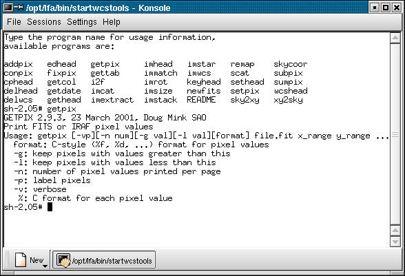
Screenshots
Contents
Previous
Next